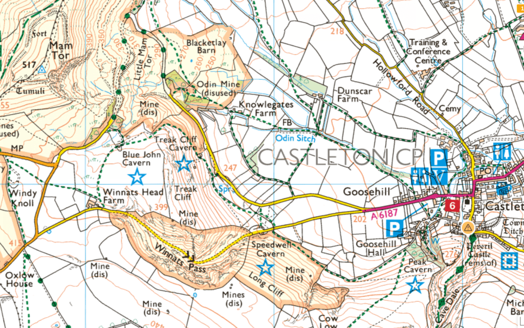
Drone flight around Winnat’s Pass, near Castleton in the Peak District
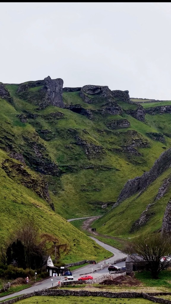
Taking advantage of an opportunity to take the drone out, we headed up to Winnats pass, a dramatic limestone gorge that cuts through the hills just west of Castleton close to Mam Tor in the Peak District. If you’ve ever seen photos of a steep, winding road snaking between towering rock walls, chances are it was here.
Formed over millions of years as water carved through softer rock. The steep sides are actually remnants of ancient reef structures, which is pretty wild to think about when you’re standing there. The cliffs rise sharply on both sides, giving an awe-inspiring alpine feel despite being right here in the UK. The area is also dotted with old lead mines and cave systems, including Speedwell Cavern where you can actually take a boat into an underground canal.
Just like its close neighbours Mam Tor and Castleton, Winnats Pass gets very busy, especially weekends and sunny evenings. Parking can be a bit chaotic, and its common to see lines of campervans on the nearby roads and lanes so I’d recommend visiting midweek outside of school holidays where possible for the best chance to enjoy the views and numerous walking routes.
Much of Winnats Pass is a designated SSSI area, and close to the National Trust land of Mam Tor, so if you’re taking a drone be mindful of this be sure to avoid disturbing the farm animals or wildlife. We took off from a public path, and used the zoom of the Air 3S to keep a respectful distance while still getting great footage.

Leave a comment