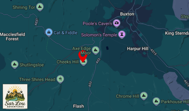
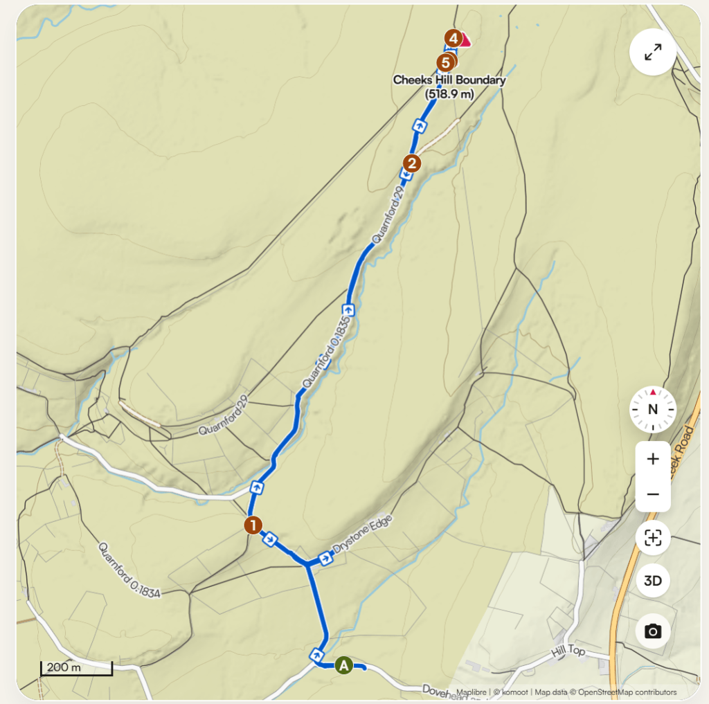
The County top of Staffordshire, Cheeks Hill, sits at the furthest northern point of the county on the border with Derbyshire. A stone wall is all that stands between the two counties, and just a mile north is ‘Three Shires Head’, the meeting point of Staffordshire, Derbyshire and Cheshire.
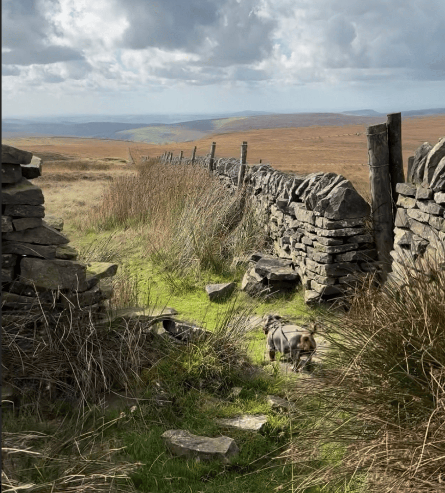
All that said, you’d think that there would be something more substantial to mark the summit of Cheeks Hill other than a lump of flattened dirt. Apparently Staffordshire County Council didn’t get the memo that hikers and explorers of the Peak District rather like a trig point, marker or at least SOMETHING to welcome you to the highest point in the entire county. There is, however, a disused mine shaft just a stone’s throw away from the lump of dirt summit, which makes for a nice rest stop to take in the rather featureless moorland views.
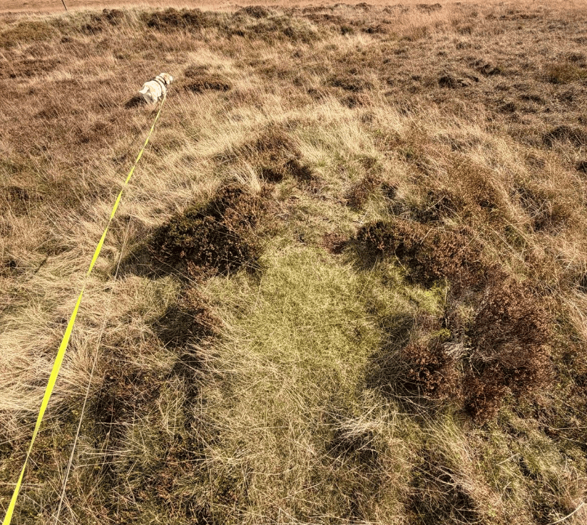
Nearby Axe Edge Moor features a classic trig point, but my hike today was just an out and back to tick off another County top with the pups Ruby and Frankie, who were more interested in making friends with the local wandering sheep than my efforts to visit previously undiscovered places.
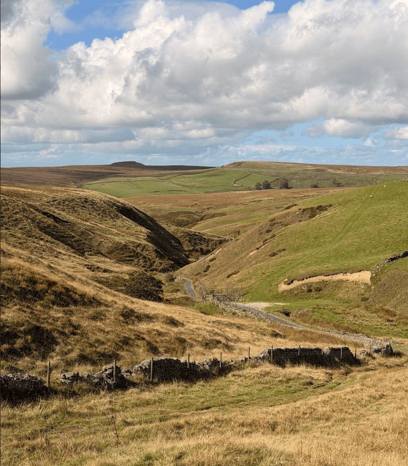
Access and parking: Note that the country lanes around the area are largely single track, and there are loads of signs forbidding parking on the lanes due to farm traffic and emergency vehicle access.
There is a layby that is commonly used for access to Three Shires Head and Cheeks hill at What3words ///joys.frail.shorten and residents of the nearby farms request that dogs be kept on leads due to roaming livestock.


Leave a comment